Home

Main navigation

  • Home
  • Programs
  • River Gage Data
    • USGS Stream Gages
    • MRBC Stream Gages
    • NWS Advanced Hydrologic Prediction Service
  • About Us
  • Resources & Links
    • Flood Damage Prevention Measures
    • Downloads & Links
    • Current Events
    • FAQ
    • MRBC Master Plan
    • Online Mapping Tool
  • Awards
  • Contact

USGS Stream Gages

Stream gages are listed in order from upstream to downstream.

Cedar Creek

  • Auburn 18th Street
  • Near Cedarville

St. Marys River

  • Rockford
  • Pleasant Mills
  • Decatur
  • Near Fort Wayne
  • Main Street

St. Joseph River

  • Near Newville
  • Near Fort Wayne
  • At Parnell Avenue

Maumee River

  • At Columbia Street
  • At Anthony Blvd
  • At Coliseum Blvd
  • At New Haven

Junk Ditch

  • At Fort Wayne

Spy Run Creek

  • Near Park Drive

Hamilton Lake/Fish Creek

  • Hamilton Lake
  • Fish Creek

Gerke Ditch

  • Gerke Ditch near Decatur

Nickelsen Creek

  • Nickelson Creek near Decatur

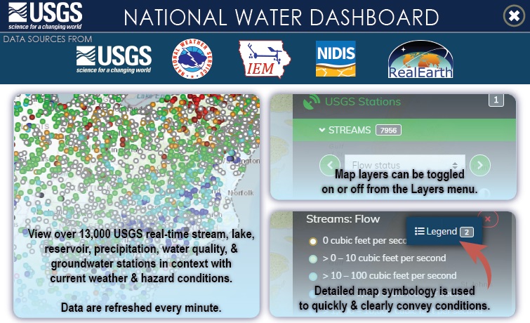
USGS National Water Dashboard

USGS Dashboard

River Gage Data

  • USGS Stream Gages
  • MRBC Stream Gages
  • NWS Advanced Hydrologic Prediction Service

Am I in a Flood Area?

To find whether your home is located in a FEMA Flood-Risk Area, visit one of the links below. 

INdiana Floodplain Information Portal

FEMA's National Flood Hazard Layer (NFHL) Viewer

MRBC Awards

The Maumee River Basin Commission (MRBC) 2008 Flood Mitigation Master Plan was selected as the recipient of the “2008 Outstanding Floodplain Project Award” presented at the annual Indiana Association of Floodplain and Stormwater Management Conference at Brown County State Park.


The Maumee River Basin Commission was presented the “Local Award for Excellence” from the Association of State Floodplain Managers on May 26, 1999 in Portland, Oregon.


River Levels

St. Marys River at Rockford (Ohio)

Checked
1 hour 47 minutes ago
St. Marys River at Rockford (Ohio)
Current Hydrologic Observations for Ohio provided by the National Weather Service - Advanced Hydrologic Prediction Service
URL
https://water.weather.gov/ahps/
Subscribe to St. Marys River at Rockford (Ohio) feed

St. Marys River at Decatur (Indiana)

Checked
1 hour 47 minutes ago
St. Marys River at Decatur (Indiana)
Current Hydrologic Observations for Indiana provided by the National Weather Service - Advanced Hydrologic Prediction Service
URL
https://water.weather.gov/ahps/
Subscribe to St. Marys River at Decatur (Indiana) feed

St. Marys River near Fort Wayne (Indiana)

Checked
1 hour 47 minutes ago
St. Marys River near Fort Wayne (Indiana)
Current Hydrologic Observations for Indiana provided by the National Weather Service - Advanced Hydrologic Prediction Service
URL
https://water.weather.gov/ahps/
Subscribe to St. Marys River near Fort Wayne (Indiana) feed

St. Joseph River (OH/IN) near Newville (Indiana)

Checked
1 hour 47 minutes ago
St. Joseph River (OH/IN) near Newville (Indiana)
Current Hydrologic Observations for Indiana provided by the National Weather Service - Advanced Hydrologic Prediction Service
URL
https://water.weather.gov/ahps/
Subscribe to St. Joseph River (OH/IN) near Newville (Indiana) feed

St. Joseph River (OH/IN) near Fort Wayne (Indiana)

Checked
1 hour 47 minutes ago
St. Joseph River (OH/IN) near Fort Wayne (Indiana)
Current Hydrologic Observations for Indiana provided by the National Weather Service - Advanced Hydrologic Prediction Service
URL
https://water.weather.gov/ahps/
Subscribe to St. Joseph River (OH/IN) near Fort Wayne (Indiana) feed

Maumee River at Fort Wayne (Indiana)

Checked
1 hour 47 minutes ago
Maumee River at Fort Wayne (Indiana)
Current Hydrologic Observations for Indiana provided by the National Weather Service - Advanced Hydrologic Prediction Service
URL
https://water.weather.gov/ahps/
Subscribe to Maumee River at Fort Wayne (Indiana) feed

Maumee River at Coliseum Blvd In Fort Wayne (Indiana)

Checked
1 hour 47 minutes ago
Maumee River at Coliseum Blvd In Fort Wayne (Indiana)
Current Hydrologic Observations for Indiana provided by the National Weather Service - Advanced Hydrologic Prediction Service
URL
https://water.weather.gov/ahps/
Subscribe to Maumee River at Coliseum Blvd In Fort Wayne (Indiana) feed

Maumee River at New Haven (Indiana)

Checked
1 hour 47 minutes ago
Maumee River at New Haven (Indiana)
Current Hydrologic Observations for Indiana provided by the National Weather Service - Advanced Hydrologic Prediction Service
URL
https://water.weather.gov/ahps/
Subscribe to Maumee River at New Haven (Indiana) feed

Cedar Creek (IN) at 18th Street Auburn (Indiana)

Checked
1 hour 47 minutes ago
Cedar Creek (IN) at 18th Street Auburn (Indiana)
Current Hydrologic Observations for Indiana provided by the National Weather Service - Advanced Hydrologic Prediction Service
URL
https://water.weather.gov/ahps/
Subscribe to Cedar Creek (IN) at 18th Street Auburn (Indiana) feed

Cedar Creek (IN) near Cedarville (Indiana)

Checked
1 hour 47 minutes ago
Cedar Creek (IN) near Cedarville (Indiana)
Current Hydrologic Observations for Indiana provided by the National Weather Service - Advanced Hydrologic Prediction Service
URL
https://water.weather.gov/ahps/
Subscribe to Cedar Creek (IN) near Cedarville (Indiana) feed
FORT WAYNE WEATHER
Copyright © 2026

Main navigation

  • Home
  • Programs
  • River Gage Data
    • USGS Stream Gages
    • MRBC Stream Gages
    • NWS Advanced Hydrologic Prediction Service
  • About Us
  • Resources & Links
    • Flood Damage Prevention Measures
    • Downloads & Links
    • Current Events
    • FAQ
    • MRBC Master Plan
    • Online Mapping Tool
  • Awards
  • Contact