MAUMEE RIVER BASIN COMMISSION
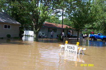
FLOOD MITIGATION MASTER PLAN
 |
 |
for
Maumee River Basin Commission
3864 New Vision Drive
Fort Wayne, IN 46845
CBBEL Project #01-0409
July 2008
Welcome to the website of the 2008 Maumee River Basin Commission (MRBC) Master Plan. This site was developed by Christopher B. Burke Engineering, Ltd., in collaboration with the MRBC, as an update to the 1995 Maumee River Basin Flood Control Master Plan (4.4 Megabytes). As opposed to the traditional paper copy report, the MRBC chose to develop the plan online to allow for timely comments and review of the content, allow for a more interactive use of the plan, minimize costs associated with the copying and distribution associated with bulky paper reports, and allow updates to be completed in a timely and efficient manner.
HOW TO USE THIS SITE
Each chapter is listed on the navigation bar on the left side of each page. Clicking these links will take you to the desired location. The top navigation bar provides links to the home page, general information about the MRBC, a page to share your comments, a search engine, and who to contact with questions regarding the plan. On the right navigation bar, the user will find links specific to each chapter, as well as links to other useful sites mentioned throughout the plan. Finally, each chapter has a "Printer Friendly" button so that the user may print out a hard copy without any of the borders or navigation bars.
All of the maps on this site were created using ESRI's ArcGIS products, and ultimately converted to Adobe PDF format. These GIS layers may be available for public use and interested parties should visit the Contacts Page for more infomation. Most of the maps were created with the purpose of viewing, panning, and zooming on a computer screen. While these maps may be printed, be cautioned that some features may be difficult to see on paper copies, and most printers will not be able to print the larger, paper maps.
In addition, several documents have been exported to a PDF format. Please make sure that you have the most up-to-date Adobe Reader product to view these maps, a link to the free download of this software is provided in the right navigation bar. Several of these documents/maps are rather large in size, so it is recommended that you use a broadband internet connection to optimize your viewing pleasure. This site was created with Microsoft Internet Explorer users in mind, but will work with other web browsers; however, other browsers may not be able to take advantage of some design features.
As of July 2008, this document is still considered to be in "Draft" format. While the majority of information regarding Allen County, Indiana is included on the site, data concerning the remaining counties in the MRBC will be added at a later date.
